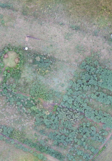
Create powerful data deliverables like 3D point clouds, orthomosaic, or methane inspection concern maps. Astral Aerial helps you to collect data efficiently and safely while cutting costs, saving time, and converting data into useful information.
Surveying And Mapping
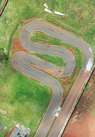
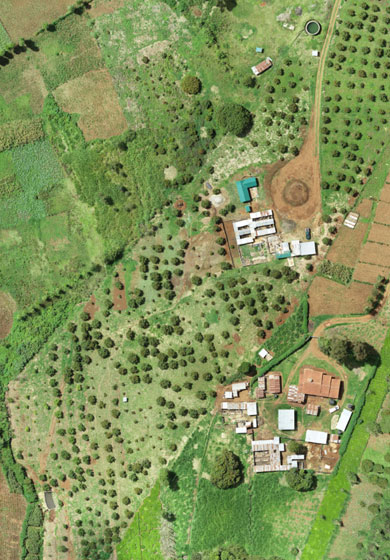
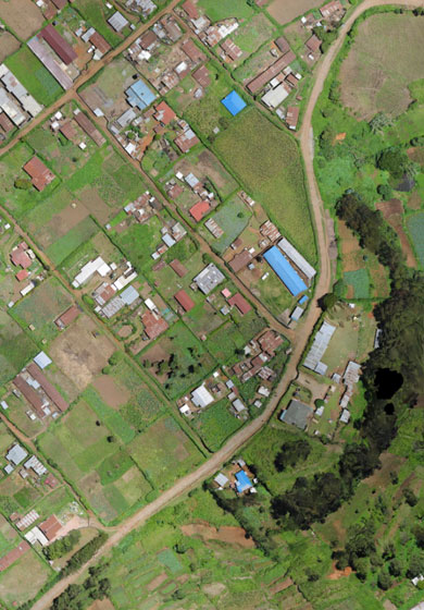
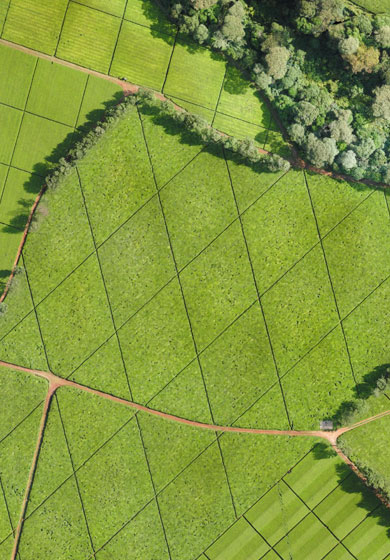
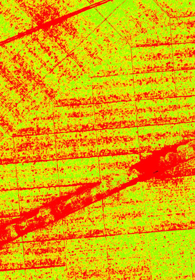
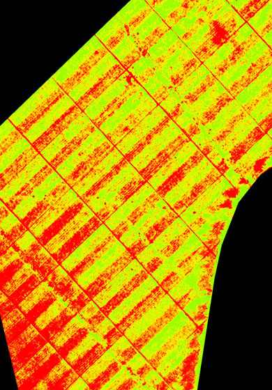
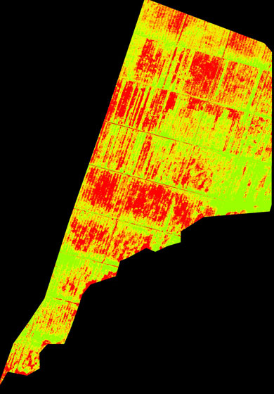
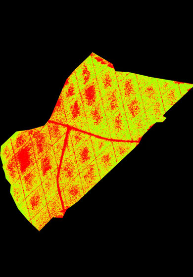
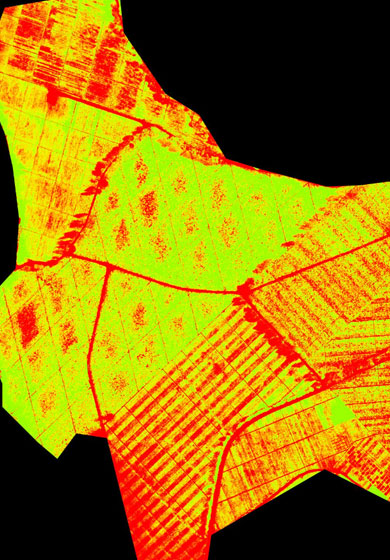
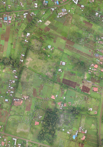
Drone Survey using fixed-wing and multi-rotor drones to generate high resolution and accurate orthophoto, DTM, contour, NDVI for multiple industries and applications.